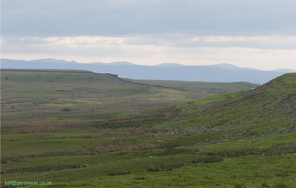
This gallery shows a number of the remains of the Stainmore line around the summit area and towards Barras and Belah. For more about the line, see
this Wikipedia article and the Stainmore 150 website
here
The view from the county boundary layby on the westbound A66. The railway fences show the extent of the summit sidings here although all the buildings have been erased. Mouseover the image for annotated view. The replica summit sign now stands alone
An online image of the summit sidings roughly looking up to the A66
An online OS 6 inch map of the area east of the summit . The 25 inch scale map that would show the track layout is not yet available.